Organic vs Conventional Farming: Key Differences
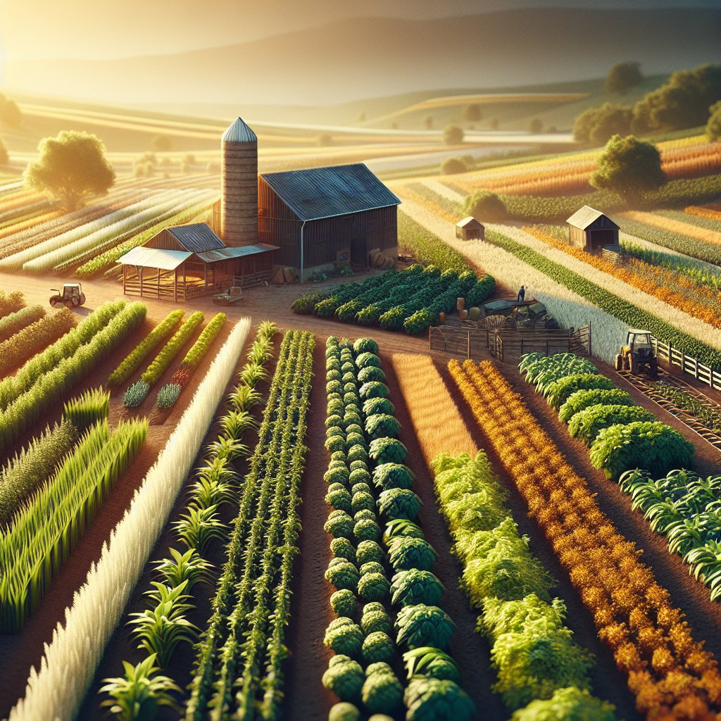
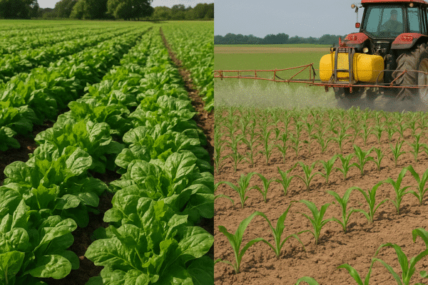
The ongoing debate between organic and conventional agriculture shapes the future of food production, consumer choices, and environmental stewardship. This article explores the fundamental differences between these two approaches, focusing on methods, impacts, and challenges. By examining various aspects—from soil…

