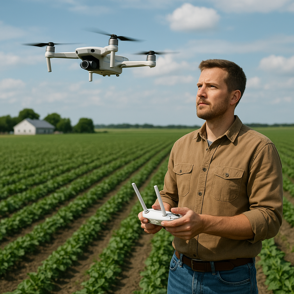
Agricultural technology has taken a significant leap forward with the integration of unmanned aerial vehicles, commonly known as drones. These versatile machines are transforming traditional farming methods by offering high-resolution aerial **monitoring**, precise data acquisition, and real-time **analysis**. Farmers can now make informed decisions to enhance **efficiency**, boost **yield**, and optimize **resource management**. This article explores the multifaceted role of drones in modern agriculture, detailing their benefits, technical requirements, and future potential.
Enhancing Crop Monitoring and Management
Precision agriculture relies heavily on timely and accurate information about field conditions. Drones equipped with multispectral and thermal cameras provide a bird’s-eye view that was once impossible or prohibitively expensive. By regularly surveying fields, farmers can detect early signs of stress, disease, or pest infestations before they spread extensively.
High-Resolution Imaging
- Multispectral Sensors: Capture data across different light bands to reveal plant health and chlorophyll activity.
- Thermal Cameras: Identify areas of heat stress caused by drought or inadequate irrigation.
- RGB Cameras: Offer detailed visual records for day-to-day crop assessment.
Data-Driven Decisions
After flights, specialized software stitches images into comprehensive field maps, highlighting variability in soil moisture, nutrient levels, and pest pressure. Farmers can use this information to apply targeted treatments, such as:
- Variable Rate Application of fertilizers and pesticides to minimize waste.
- Spot irrigation in zones showing drought stress.
- Disease containment by isolating affected sections.
Such tactics contribute to sustainable practices by reducing chemical runoff and conserving water.
Streamlining Operations with Automation
The concept of automated agriculture is no longer science fiction. Drones can be integrated into a broader ecosystem of **robotics**, GPS guidance, and Internet of Things (IoT) sensors to create a seamless workflow from planting to harvest.
Automated Flight Planning
Modern drone platforms allow the creation of pre-programmed flight paths that cover hundreds of hectares in a single mission. Users define waypoints, altitudes, and sensor triggers, enabling consistent data collection without manual piloting. This **automation** reduces labor costs and human error.
Integrated Farm Management Systems
- Cloud-Based Dashboards: Centralize flight logs, sensor outputs, and prescription maps for easy access.
- Real-Time Alerts: Notify operators of low battery, poor connectivity, or unexpected weather changes.
- API Connectivity: Sync drone data with irrigation controllers, tractors, and harvesters for seamless coordination.
When drones communicate with other smart devices, a farm can operate almost autonomously, freeing the farmer to focus on strategic planning.
Overcoming Technical and Regulatory Challenges
While the benefits of drone deployment are significant, several hurdles must be addressed to ensure safe and effective operation.
Regulatory Compliance
Different countries enforce varied rules regarding drone weight, flight altitude, and line-of-sight requirements. Farmers must obtain proper licenses, conduct risk assessments, and maintain logs to comply with aviation authorities. Understanding these regulations is critical to prevent fines and maintain uninterrupted service.
Battery Life and Payload Limitations
- Flight Time: Most commercial drones offer 20–40 minutes of airtime per battery, limiting coverage per sortie.
- Payload Capacity: Adding heavy sensors or pesticide tanks affects maneuverability and endurance.
- Charging Infrastructure: Farms must invest in fast-charging stations or spare batteries to support continuous operations.
Innovations in battery chemistry and lightweight materials are gradually extending flight times and increasing payload capabilities, but planning around these constraints remains essential.
Data Management and Security
Collecting terabytes of imagery and sensor data poses challenges in storage, processing, and protection. Farmers should:
- Choose robust cloud platforms with automatic backups.
- Implement encryption to secure sensitive farm analytics.
- Train staff in data handling best practices to prevent loss or misuse.
Future Prospects: Integrating AI and Beyond
Artificial intelligence is poised to revolutionize how drone data is interpreted. Advanced machine learning algorithms can sift through vast image libraries to detect patterns invisible to the human eye. Potential future applications include:
Real-Time Anomaly Detection
- Pest Prediction: AI models forecasting infestation hotspots before they emerge.
- Weed Recognition: Automated identification and targeted elimination of invasive plants.
- Yield Forecasting: Predicting harvest volumes based on growth trends and weather data.
Swarm Technology
Coordinated fleets of drones working in tandem could cover large tracts more efficiently than single units. Swarming drones might:
- Perform simultaneous seeding in different field sections.
- Collaborate on large-scale pesticide or nutrient applications.
- Provide multi-angle imaging for 3D modeling of crops and terrain.
Economic and Environmental Impact
Beyond the immediate operational gains, drone-enabled agriculture has far-reaching effects on both economy and ecology. Improved **accuracy** reduces input costs, while early problem detection cuts losses and increases margins. Environmentally, precise applications limit chemical overuse, promoting soil health and biodiversity.
The synergy between drones and other precision farming tools heralds a new era of **sustainable** agriculture. As technology progresses, smallholder farms and large agribusinesses alike will benefit, ensuring food security for a growing global population.