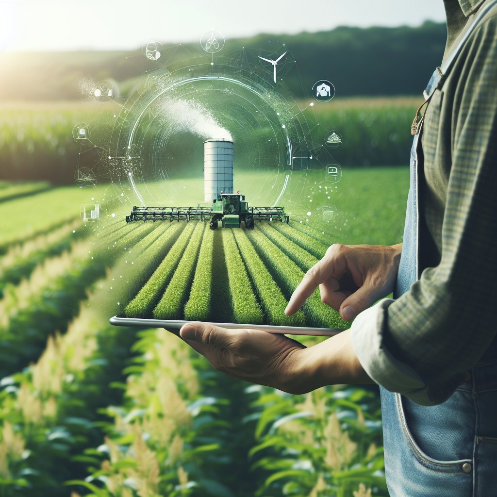
Farmers are increasingly turning to satellite imagery as a powerful tool to optimize their farming practices. This technology allows them to monitor crop health, assess soil conditions, and make informed decisions that can lead to increased yields and reduced costs. By leveraging satellite data, farmers can gain insights that were previously difficult to obtain, enabling them to manage their resources more effectively and sustainably.
The Role of Satellite Imagery in Modern Agriculture
Satellite imagery has revolutionized the way farmers approach agriculture. Traditionally, farmers relied on ground-based observations and manual data collection, which could be time-consuming and often inaccurate. With the advent of satellite technology, farmers can now access high-resolution images of their fields from space, providing a comprehensive view of their crops and land conditions.
One of the primary benefits of satellite imagery is its ability to provide real-time data. Farmers can monitor their fields throughout the growing season, allowing them to identify issues such as pest infestations, nutrient deficiencies, and water stress before they become critical problems. This proactive approach enables farmers to take timely action, whether it be applying fertilizers, pesticides, or irrigation, ultimately leading to healthier crops and better yields.
Precision Agriculture
Precision agriculture is a farming management concept that uses satellite imagery and other technologies to optimize field-level management regarding crop farming. By utilizing satellite data, farmers can implement precision agriculture techniques that allow them to apply inputs more efficiently and effectively.
- Variable Rate Technology (VRT): This technology allows farmers to apply fertilizers and pesticides at variable rates across their fields based on the specific needs of different areas. Satellite imagery helps identify these variations, ensuring that inputs are used where they are most needed, reducing waste and environmental impact.
- Crop Monitoring: Satellite imagery provides detailed information about crop health, allowing farmers to monitor growth patterns and detect stress early. This information can be used to adjust management practices, such as irrigation schedules or nutrient applications, to optimize crop performance.
- Yield Prediction: By analyzing historical satellite data alongside current images, farmers can predict yields more accurately. This information is crucial for planning harvests, managing labor, and making financial decisions.
Benefits of Using Satellite Imagery in Farming
The integration of satellite imagery into farming practices offers numerous benefits that extend beyond just crop management. These advantages can lead to more sustainable farming practices and improved economic outcomes for farmers.
Enhanced Decision-Making
Access to satellite imagery empowers farmers to make data-driven decisions. Instead of relying solely on intuition or past experiences, farmers can analyze current conditions and trends to inform their strategies. This enhanced decision-making process can lead to better resource allocation, improved crop management, and ultimately, higher profitability.
Cost Savings
By utilizing satellite imagery, farmers can achieve significant cost savings. The ability to monitor fields remotely reduces the need for labor-intensive ground surveys, saving time and labor costs. Additionally, the precise application of inputs through VRT minimizes waste, leading to lower expenses for fertilizers, pesticides, and water.
Environmental Sustainability
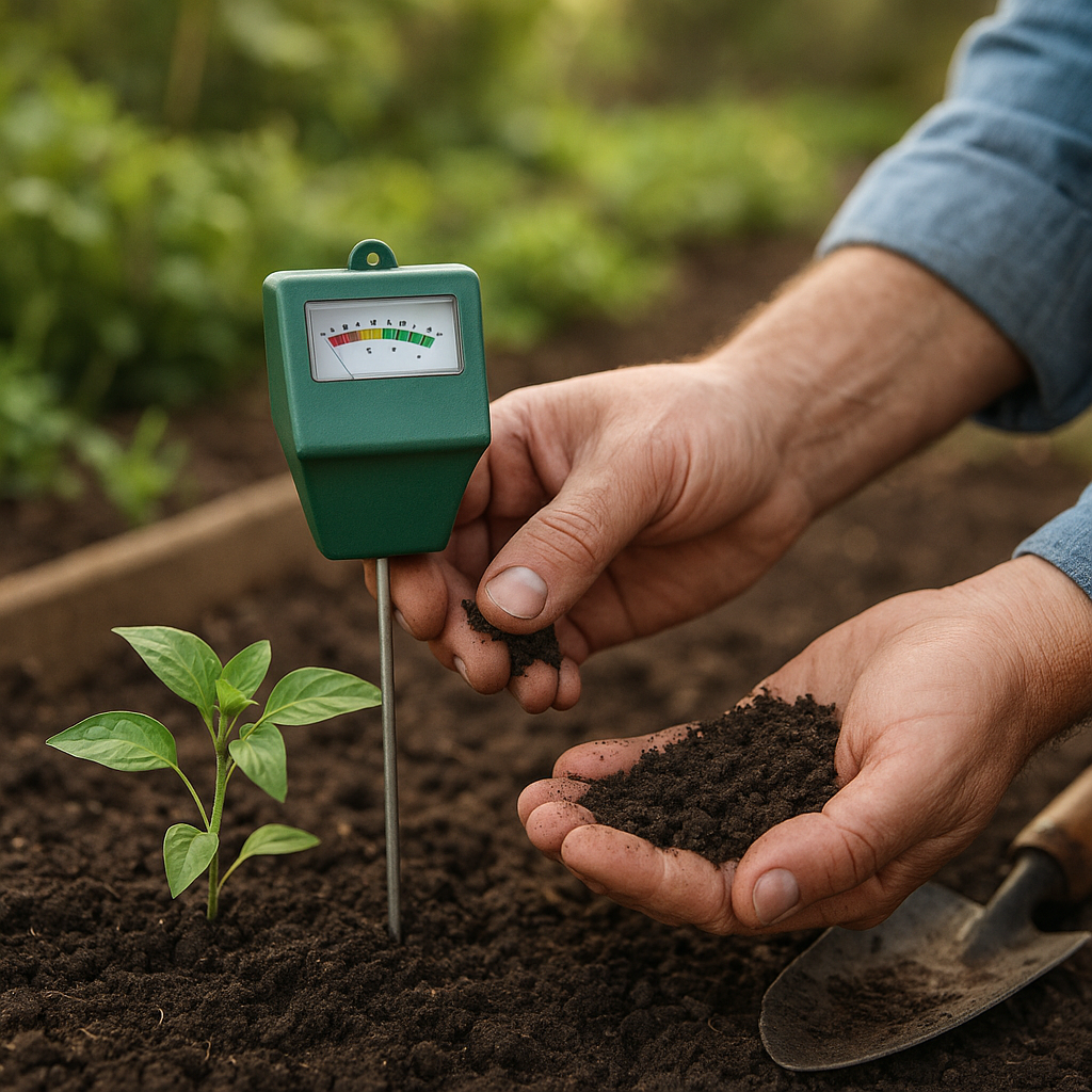
Satellite imagery contributes to more sustainable farming practices by promoting efficient resource use. By applying inputs only where needed, farmers can reduce runoff and minimize the impact on surrounding ecosystems. Furthermore, the ability to monitor soil health and moisture levels helps farmers adopt practices that conserve water and protect soil quality.
Challenges and Considerations
Data Interpretation
One of the primary challenges is the interpretation of satellite data. While the imagery provides valuable insights, farmers may require training or expertise to analyze the data effectively. Collaborating with agronomists or utilizing software tools designed for data analysis can help bridge this gap.
Cost of Technology
While satellite imagery can lead to cost savings in the long run, the initial investment in technology and software can be a barrier for some farmers. However, as technology continues to advance and become more accessible, the costs are expected to decrease, making it more feasible for farmers of all sizes to adopt these practices.
Integration with Existing Systems
Farmers often use various tools and technologies in their operations. Integrating satellite imagery with existing systems, such as farm management software or precision agriculture tools, can be complex. Ensuring compatibility and seamless data flow is essential for maximizing the benefits of satellite imagery.
The Future of Satellite Imagery in Farming
The future of satellite imagery in farming looks promising, with ongoing advancements in technology and data analytics. As satellite systems become more sophisticated, farmers can expect even higher resolution images and more accurate data. Additionally, the integration of artificial intelligence and machine learning will enhance the ability to analyze and interpret satellite data, providing farmers with actionable insights.
Furthermore, the growing emphasis on sustainable agriculture and environmental stewardship will drive the adoption of satellite imagery as a tool for monitoring and managing resources responsibly. As consumers increasingly demand transparency and sustainability in food production, farmers who leverage satellite technology will be better positioned to meet these expectations.
Conclusion
In conclusion, satellite imagery is transforming the agricultural landscape by providing farmers with the tools they need to optimize their practices. From enhancing decision-making to promoting sustainability, the benefits of this technology are vast. While challenges remain, the future of satellite imagery in farming is bright, promising a new era of efficiency and productivity in agriculture.


